Route Planning
Active Travel Hub > Walking > Route Planning
How to plan
Planning a route sounds simple but there can actually be quite a lot to think about before you get going. By taking into account a few key factors, you will make your walk far more enjoyable.
Weather
If it’s been raining recently slippery surfaces are worth avoiding. Ice or snow is even more hazardous, so sticking to well gritted paths is ideal.
Time of Day
Consider sunrise/sunset times and maybe avoiding areas that are busy with commuting traffic if you’re walking during peak times.
Duration
You should consider how long you have to complete the route planned. Is it a bit of a stretch? Can you cut it short if you need to dash back quickly?
fitness
It’s sensible not to be overly ambitious with your route. If your last walk was 20 minutes then going for a 3 hour walk might sound great but might leave you tired and with a long way to walk home!
gear
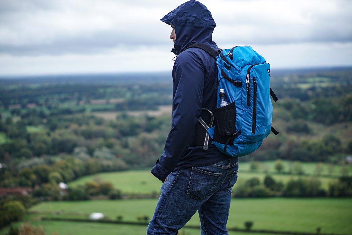
Largely based on the weather conditions. If it’s a traditional Scottish day then you’ll need to pack for rain, sun, snow or anything in between. Better to carry a coat and not need it than not take it and need it.
Nutrition
Make sure you’re adequately fuelled for the walk your planning. If you haven’t eaten for a while then take some snacks to sustain you. Water can also easily be overlooked.
Route planning tools
As you would imagine there are a huge range of tools to help you plan routes. It can be difficult to know which one is best for your needs. This guide should help outline which tools are best and what their main functions are.
Local Maps
There are local area maps available for Hilton, Raigmore, Merkinch and Dalneigh. These show walking routes and give you a rough estimation of how long they might take. Ideal for planning local routes or exploring new areas Inverness!
Walk Highlands
If you’re looking to explore a wider area of routes, Walk Highlands is the place to go. They have a range of walks for all abilities from Munros ( the name for all Scottish mountains over 3000 feet) to nature reserves. There is a lot of information on there about what to carry with you on walks and detailed step by step instructions on each stage of the route. There are also reviews by fellow walkers which can be a great indicator of the severity of the walk.
google Maps
For just getting out and about in town, often the most accessible option is google maps. Whilst we wouldn’t recommend this in all situations, it’s a great tool for a quick guide as it has a walking specific mode. Sometimes suggested routes aren’t knowledgeable of local infrastructure, so be sure to look out for signed walking routes as well.


